Read the studies in detail :
Hellenic Ministry of Rural Development and Food - Public
Digitization of Analog Cartographic data, and reference them to a common geodetic reference system.
Project Description
The project includes the photogrammetric scanning of 56000 air photos technology and the triangulation of them.
Technology used: Vexcel Photogrammetric Scanning, Leica Photogrammetric Suite.
Public : http://www.minagric.gr/
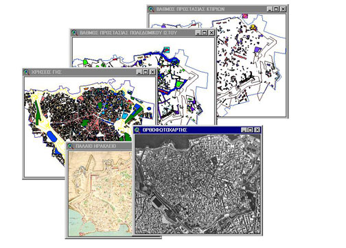
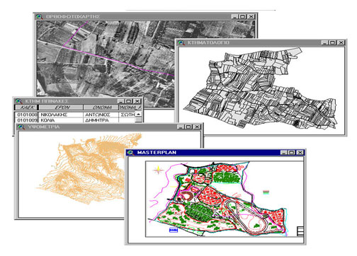
Municipality of Chaidari Greece - Public
Development of a Geographic Information System for the Municipality of Chaidari – Attica – Greece.
Project description
The GIS study includes:
- requirements assessment
- development of GIS applications for Facilities Management, City planning etc.
- Fleet Management
Technology used: ESRI ArcGis, Web Gis,
Public : http://www.haidarifc.gr/