In addition to supplying food and commodities, agriculture provides economic growth and employment. Due to increased productivity requirements, soil erosion, water scarcity, natural hazards and climate change, close monitoring of agricultural activity is required.
Monitoring of geo-environmental information is done either using satellite technology or in-situ. Proper recording helps to measure productivity and increase the efficiency of agriculture, identify the viability of farming practices and enhance the resilience of rural communities.
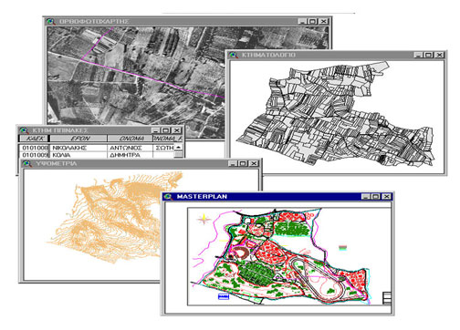
The following are listed in chronological order in order of the studies succesfully performed by anaptixi:
Hellenic Ministry of Rural Development and Food
Remote Sensing control of area based Subsidies 2005 Campaign -Greece.
Project description
The project includes:
-
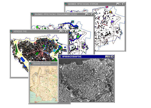
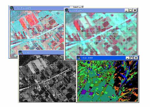
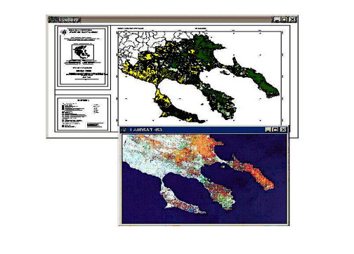
- Thematic map production (photointerpetation of IKONOS, QUICK BIRD and SPOT images).
- digitazation of farmers crop declarations.
- Diagnosis at parcel and crop group level and
- Categoriazion of farmers declarations
Technology used: ERDAS, GPS, RDBMS Oracle 9i
Remote Sensing control of area based Subsidies 2007 Campaign -Greece.
Project description
The project includes:
-
- Thematic map production (photointerpetation of IKONOS, QUICK BIRD and SPOT images).
- digitazation of farmers crop declarations.
- Diagnosis at parcel and crop group level and
- Categoriazion of farmers declarations
Technology used: ERDAS, GPS, RDBMS Oracle 9i
Digitization of Analog Cartographic data, and reference them to a common geodetic reference system.
Project description
The project includes the photogrammetric scanning of 56000 air photos technology and the triangulation of them.
Technology used: Vexcel Photogrammetric Scanning, Leica Photogrammetric Suite
Remote Sensing control of area based Subsidies 2008 Campaign -Greece Stream
Project description
The project includes:
-
- Thematic map production (photointerpetation of IKONOS, QUICK BIRD and SPOT images).
- digitazation of farmers crop declarations.
- Diagnosis at parcel and crop group level and
- Categoriazion of farmers declarations
Technology used: ERDAS, GPS, RDBMS Oracle 9i
Eurostat European Commission
Study for the construction of a dam in Lutziakorma Stream.
Project description
Preparation of large scale detailed topographic maps.