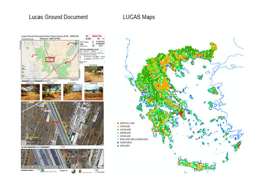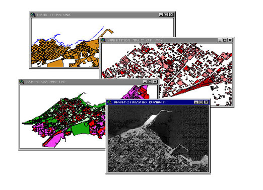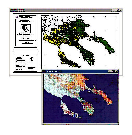
Land use / land Cover maps of Northern Greece
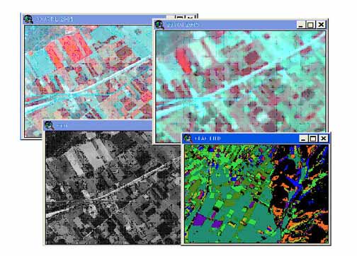
The project consists of creation a digital cartographic data base of land use / cover categories using Landsat satellite Images.
The project consists of creation a digital cartographic data base of land use / cover categories using Landsat satellite Images.