Read the projects in detail :
Organization of Cadastre and Mapping Greece
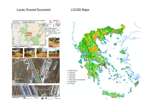
Quality Assessment of Land Use / land cover maps for the project CORINE LAND COVER 2000
Project Description
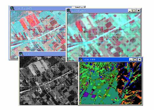
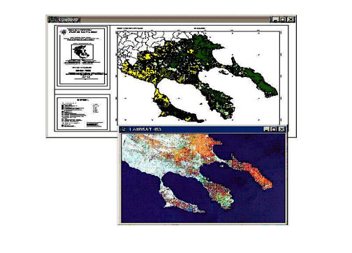
The derived Land use/cover maps of Corine 2000 project for Greece, were checked for compliance with the Corine nomenclature. Quality control was performed using higher accuracy thematic data as well as field surveys.
The project also includes geometric checking of horizontal accuracy of Ladsat images used.
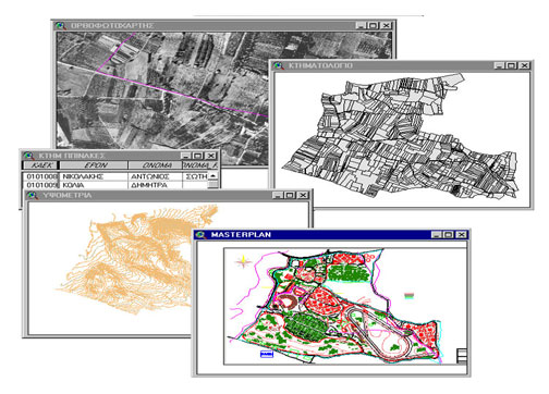
Land Registry Study of Patmos and Simi Municipalities.
Project Description
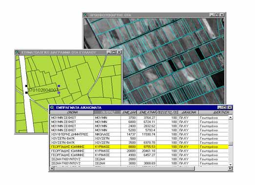
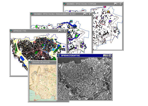
The project consists of the development of a cadastre GIS in the municipalities of Patmos and Simi (islands in the Aegean sea). It includes: preparation of digital orthophotomaps (scale 1:5000), photogrammetric maps (scale 1:1000) and a cadastre data base for the property and land registration.
Technology used: BAE Socet Set, Esri ArcGis, Oracle 9i RDBMS
Public : http://www.okxe.gr/
KTIMATALOGIO S.A.
Land Registry Study of EVLALO and AIGEIRO Municipalities in the North Greece
Project description
The project consists of the preparation of digital orthophotomaps (scale 1:5000), photogrammetric maps (scale 1:1000) and cadastre data base for the property and land registration in the municipalities of of EVLALO and AIGEIRO Municipalities in the Northern Greece.
Public : http://www.ktimatologio.gr/
Land Registry Study of Agios Stefanos, Dionysos, Rodopoli, Stamata, Rafina, Marathonas, Pikermi, Anthousa and Nea Makri Municipalities in Attica prefecture.
Public : http://www.ktimatologio.gr/
Project description
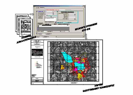
The project consists of the development of a cadastre GIS based on VLSO orthophotos, extended GPS field work and process of Owners Declarations.
Land Registry Study of Kilkis prefecture in Central Macedonia (350,000 owner titles / 300000 parcels).
Project description
The project consists of the development of a cadastre GIS based on VLSO orthophotos, extended GPS field work and process of Owners Declarations.
Public : http://www.ktimatologio.gr/
EKXA S.A.
Land Registry Study coded K5-14, KT5-22, KT5-16 and KT5-17 entitled “Cadastre Study for the Development of a National Cadastre in the various prefectures in Greece” (2,316,000 owner titles)
Project details
The project consists of the development of a cadastre GIS based on VLSO orthophotos, extended GPS field work and process of Owners Declarations.
Public : http://www.ktimatologio.gr/
Land Registry Study coded K1-04 entitled “Cadastre Study for the Development of a National Cadastre in the Pre-Peripheral Municipalities of Schimatari of the Regional Unit of Boeotia and in the Pre-Peripheral Municipalities of Nea Artakis and in the Communities of Afratio, Vathios, Kalohariou, Kalohariou, Kalochio and of the Regional Unit of Euboea of Central Greece (120,000 owner titles / 300000 parcels)
Project details
The project consists of the development of a cadastre GIS based on VLSO orthophotos, extended GPS field work and process of Owners Declarations.
Public : http://www.ktimatologio.gr/