Read the projects more analytically in chronological order:
Hellenic Ministry of Rural Development and Food - Public
2005 : Remote Sensing control of area based Subsidies 2005 Campaign -Greece.
Project Description
The project includes:
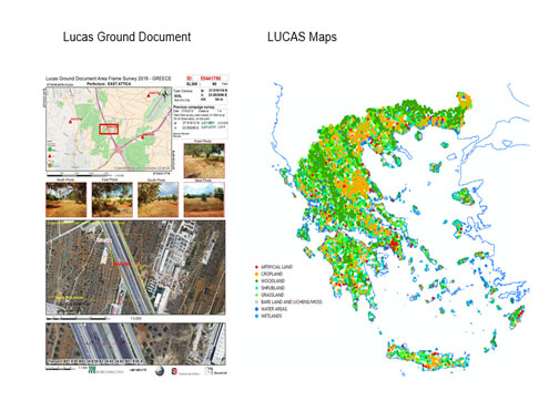
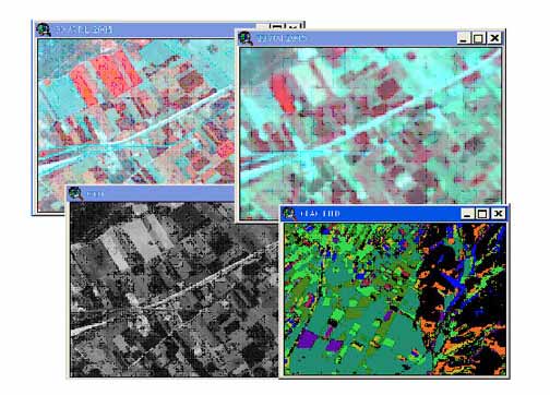
- Thematic map production (photointerpetation of IKONOS, QUICK BIRD and SPOT images)
- digitazation of farmers crop declarations
- Diagnosis at parcel and crop group level and
- Categoriazion of farmers declarations
Technology used: ERDAS, GPS, RDBMS Oracle 9i
Public : http://www.minagric.gr/
2007 :Remote Sensing control of area based Subsidies 2007 Campaign -Greece.
Project Description
The project includes:
- Preparation of data (photointerpetation of IKONOS, QUICK BIRD and SPOT images digitazation of farmers crop declarations) .
- Diagnosis at parcel and crop group level and
- Categoriazion of farmers declarations
Technology used: ERDAS, GPS, RDBMS Oracle 9i.
Public : http://www.minagric.gr/
2008 :Remote Sensing control of area based Subsidies 2008 Campaign -Greece.
Project Description
The project includes:
- Preparation of data (photointerpetation of IKONOS, QUICK BIRD and SPOT images digitazation of farmers crop declarations) .
- Diagnosis at parcel and crop group level and
- Categoriazion of farmers declarations
Technology used: ERDAS, GPS, RDBMS Oracle 9i.
Public : http://www.minagric.gr/
Technological Educational Institute of Epirus.
2008 : Development of an Agricultural Geographic Information System for the Regional Administrative Division of Epirus.
Project description
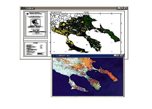
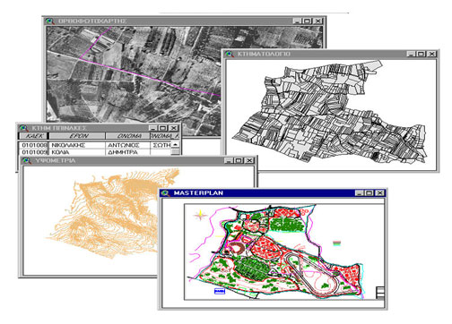
The project includes preparation of cartographic data (orthomaps, DTM, Hydrologic Network) and Land Cover (cultivated areas) maps.
Public : http://www.teiep.gr